

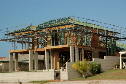
Residential land supply and development Residential development
QGSO has developed a range of urban development spatial systems, methodologies and data sets to monitor the supply of residential land and development activity indicators.
The residential land development activity profiles and spreadsheets include a summary of the amount and yield of broadhectare land, the production of residential lots, planning approvals for multiple dwellings, residential lot registrations, residential land and dwelling sales and dwelling approvals.
For more detailed information on broadhectare land, please see QGSO's Broadhectare studies.
Interactive charts
Broadhectare
Key statistic
- Logan (C) local government area (LGA) had the largest expected dwelling yield of all monitored LGAs in Queensland as at 31 December 2023 with 104,469 expected dwellings.
Data

- Available land (hectares)
- Expected dwelling yield
Lot approvals
Key statistic
- Moreton Bay (R) local government area (LGA) had the largest number of lot approvals of all monitored LGAs in Queensland during September quarter 2023 with 725 approvals.
Chart
Lot registrations
Key statistic
- Brisbane (C) local government area (LGA) had the largest number of lot registrations of all monitored LGAs in Queensland during December quarter 2023 with 1,440 registrations.
Chart
Dwelling sales
Key statistic
- Brisbane (C) local government area (LGA) had the largest number of detached residential dwelling sales of all monitored LGAs in Queensland during September quarter 2023 with 3,671 sales.
Chart
Current Releases
Residential land development activity spreadsheets (table)
The residential land development indicators spreadsheets provide a comprehensive summary of residential land development activity within Queensland's key population growth areas as reported in the Queensland Government Statistician's online Residential land development activity profiles. Data include current broadhectare land supply and up to 20 years of quarterly time series data for uncompleted lots (approvals, operational works, certifications, and lapses), lot registrations, vacant land sales, and dwelling sales.
Please note that residential land development activity for all Queensland monitored regions are subject to revision each quarter as new information becomes available. This includes additional lots approved/certified by local government authorities and new settlements of sales transactions.
For South East Queensland (SEQ), additional development data are available and include the closing stock of material change of use approvals for multiple dwellings. Also, the sales data have been aggregated to categories used to measure development in the ShapingSEQ regional plan. The SEQ spreadsheet is updated annually and all the data are year ending, except for the closing stock data.
Detailed commentary is available in the Residential land development activity profiles.
Residential land development activity profiles (report)
The residential land development activity profiles are updated quarterly and provide a comprehensive summary of recent development and dwelling activity indicators within local government areas and some regional planning areas. Topics include broadhectare land supply, uncompleted lots (approvals, operational works and certifications), lot registrations, lot sales, dwelling sales and dwelling approvals. The information in the profile can be used to provide an indication of the state of residential development in the selected region.
Please note that residential land development activity profiles data are subject to revision each quarter as new information becomes available. This includes extra lots approved/certified by local government authorities and new settlements of sales transactions. For SEQ, additional development data are available and include the closing stock of material change of use approvals for multiple dwellings.
Past Releases
The content in past releases may contain data for historical periods that have been revised in the latest release. For this reason, data should always be accessed from the latest release. Past releases are provided for reference purposes only.
Residential infill development: South East Queensland (report)
The residential infill development monitoring program captures data relating to future infill dwelling supply and building activity in South East Queensland (SEQ). The profile presents infill multiple dwelling planning applications and approvals and infill residential building approvals data by local government area.
A key concept of the infill monitoring program is the application of the existing urban area (EUA) boundary to define whether residential developments are considered infill. An information paper providing information on how the EUA boundary is used and the design principles applied in its creation, and maps presenting the EUA boundary by local government, are also available.
Please note that this report is discontinued. Latest material change of use approvals for multiple dwellings in SEQ are presented in the Residential land development activity profiles and spreadsheets.