


Enter password

Copy the website address below for a direct link to this current map view


| Age demographic: | Geography: |
 |
|
| Display value: | Time period: |
| Show school sites: |

Primary school sites
 Government primary schools
 Catholic primary schools
 Independent primary schools
 Special schools
 Government secondary schools
 Catholic secondary schools
 Independent secondary schools
Click icons to turn features on/off


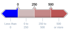
Projected primary school age persons
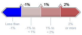
Average annual growth (2021-31) by SA2
Click thematic legend to turn layer on/off
Boundaries
 Local Government Areas (LGA)
 Statistical Areas, Level 2 (SA2)
Right-click map to display boundary details
Notes:
1. Primary school age persons are those aged between 5 and 11 years (inclusive); Secondary school age persons are those aged between 12 and 17 years (inclusive).
2. School sites are updated annually. School age projections are based on the 2023 edition of the Queensland Government population projections.
Sources:
Queensland Treasury, Queensland Government population projections, 2023 edition (medium series); Australian Bureau of Statistics, Australian Statistical Geography Standard, 2021, cat. no. 1270.0.55.001;
Department of Education (Qld); Non-State Schools Accreditation Board.
Disclaimer:
While every care is taken to ensure the accuracy of this information, Queensland Treasury makes no representations or warranties about the accuracy, reliability, completeness or suitability for any particular purpose and disclaims all responsibility and all liability (including without limitation, liability in negligence) for all expenses, losses, damages (including indirect or consequential damage) and costs which might be incurred as a result of the information being inaccurate or incomplete in any way and for any reason.